Seven continents in colours
Every continent has its own colour, the same one as in the legend at the bottom of the map. A child remembers the shape first, the name later.
A world map where animals live next to the countries, from the bear in Canada to the kangaroo in Australia. The map comes with a booklet: a legend, facts about the continents and ideas for games.
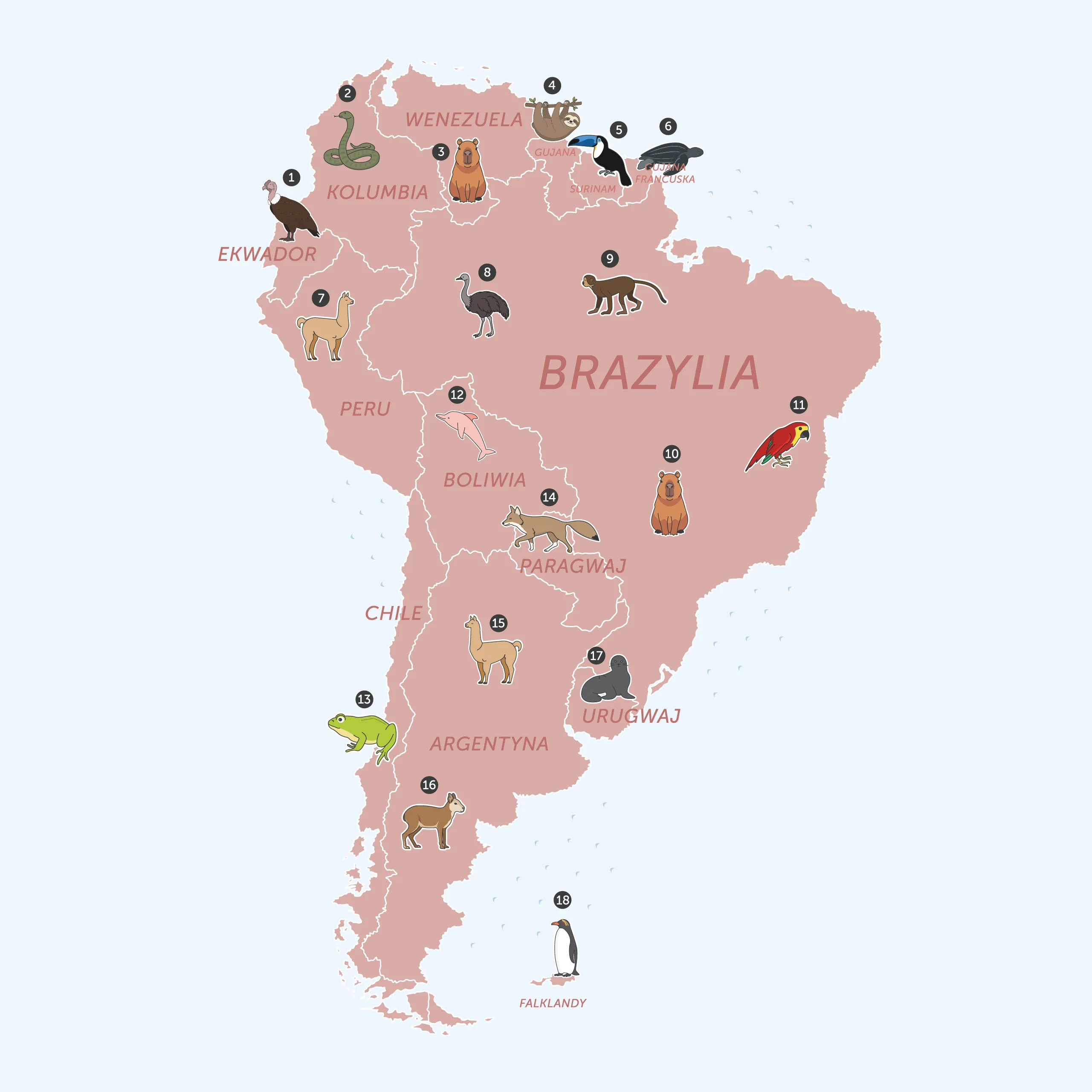
A political world map with country borders and over two hundred animals, each next to the country it lives in. The bear in Canada, the kangaroo in Australia, the panda in China. The continents have their own colours, so a child remembers the shapes first and the names later.
The animals on the map have no captions. The key is the booklet: for every continent a table with numbers, animal names and countries, a small map of the continent and facts to read aloud. Hang the map at your child’s eye level and set off.
At a glance:
The whole world one moment, one close-up the next. Turn it and see who lives around the corner.
Every continent has its own colour, the same one as in the legend at the bottom of the map. A child remembers the shape first, the name later.
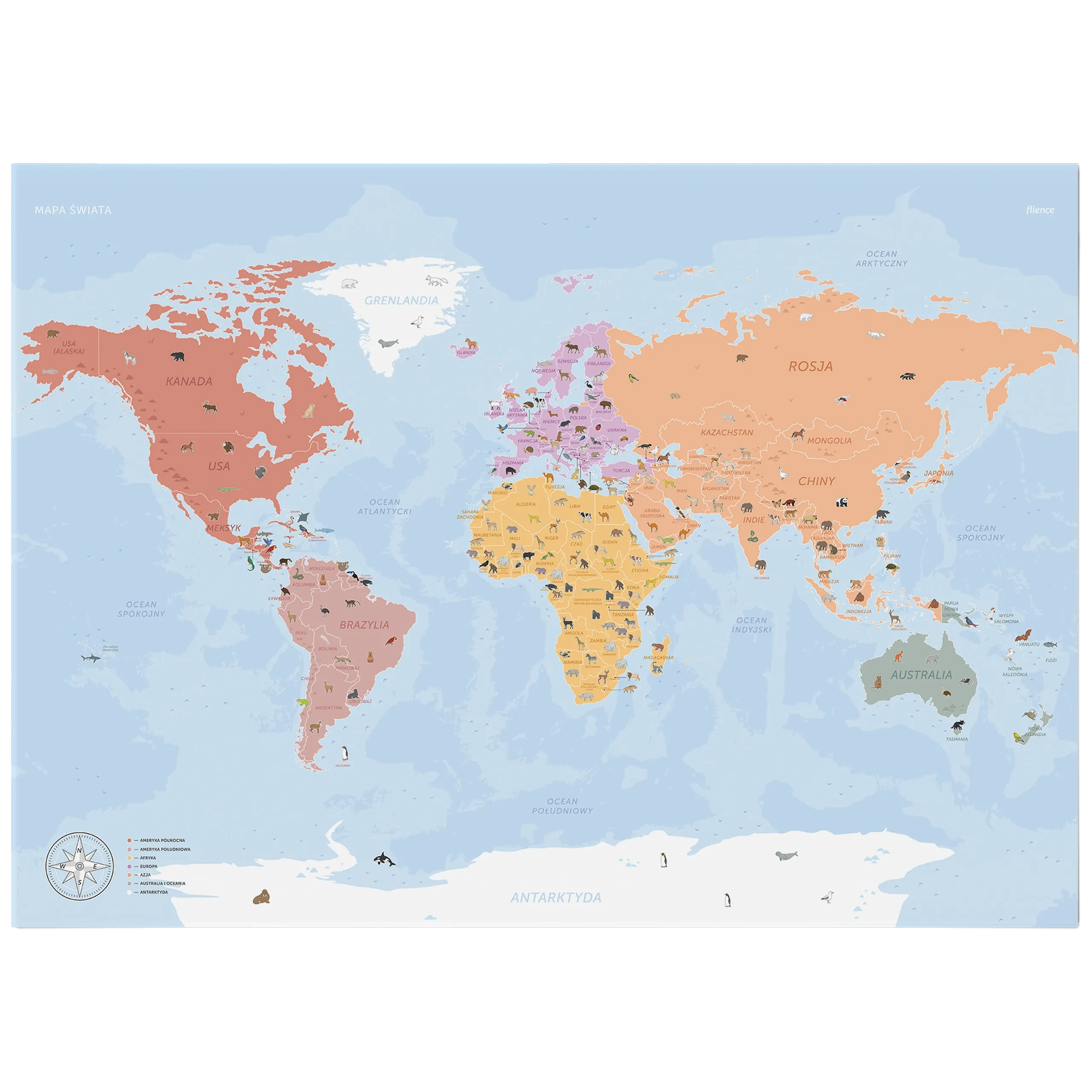
A political world map on 250 g matt coated paper, 98 by 68 cm, with coloured continents and over two hundred animals next to the countries.
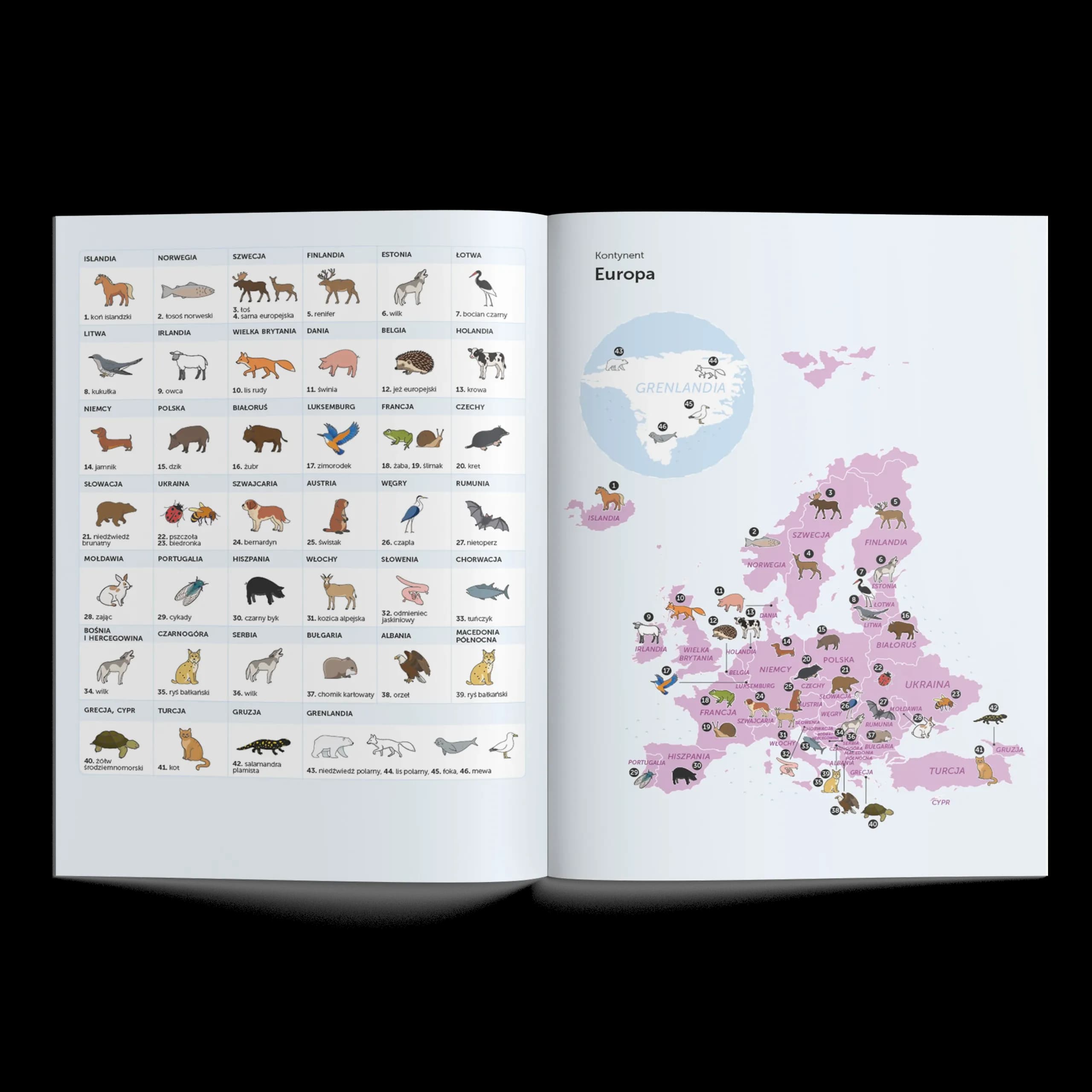
Sixteen pages: for every continent a table of animals with their countries, a small map with numbers and facts about the continent. The only key to the drawings without captions.
Find the animal, Continent of the day and On the animal’s trail. Three games from the booklet that keep the map from being just a decoration.
A B1 map with animals next to the countries and a booklet with a legend, facts and games.
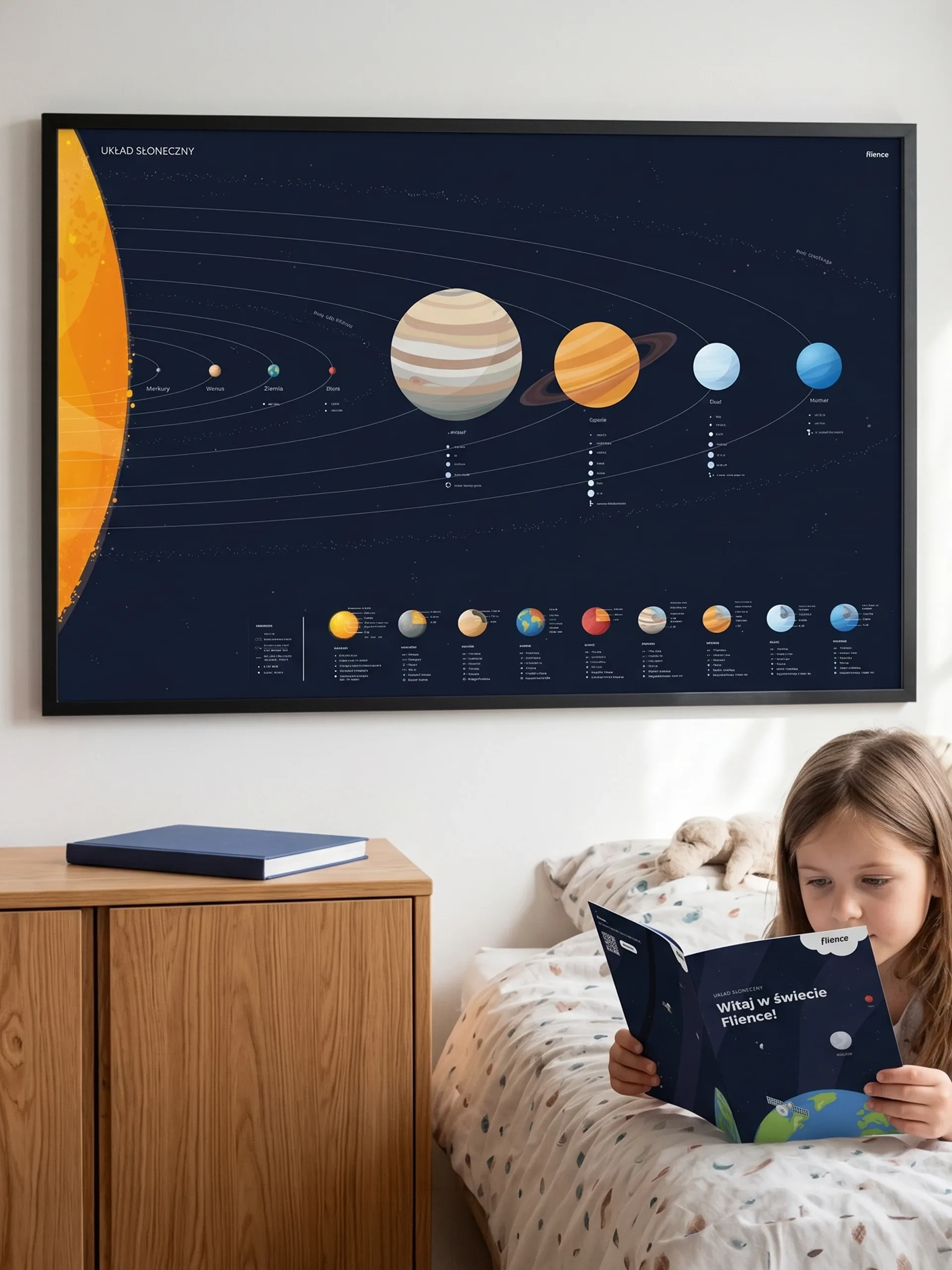
A poster featuring eight planets, their orbits and moons — each paired with a memorable fact. Pluto is missing: since 2006, it has no longer been classified as a planet.
Double-sided handwriting practice cards — from A for Antelope to Ż for Giraffe. Each letter has its own animal ambassador! For children aged 3–6.